At the beginning of this blog, I wrote an article about the capabilities and possibilities of 3D photogrammetry documentations for large areas. The Excavation I choose as an example is now finished, and I can start to write some articles. But this may take some time, so here are is a little preview:
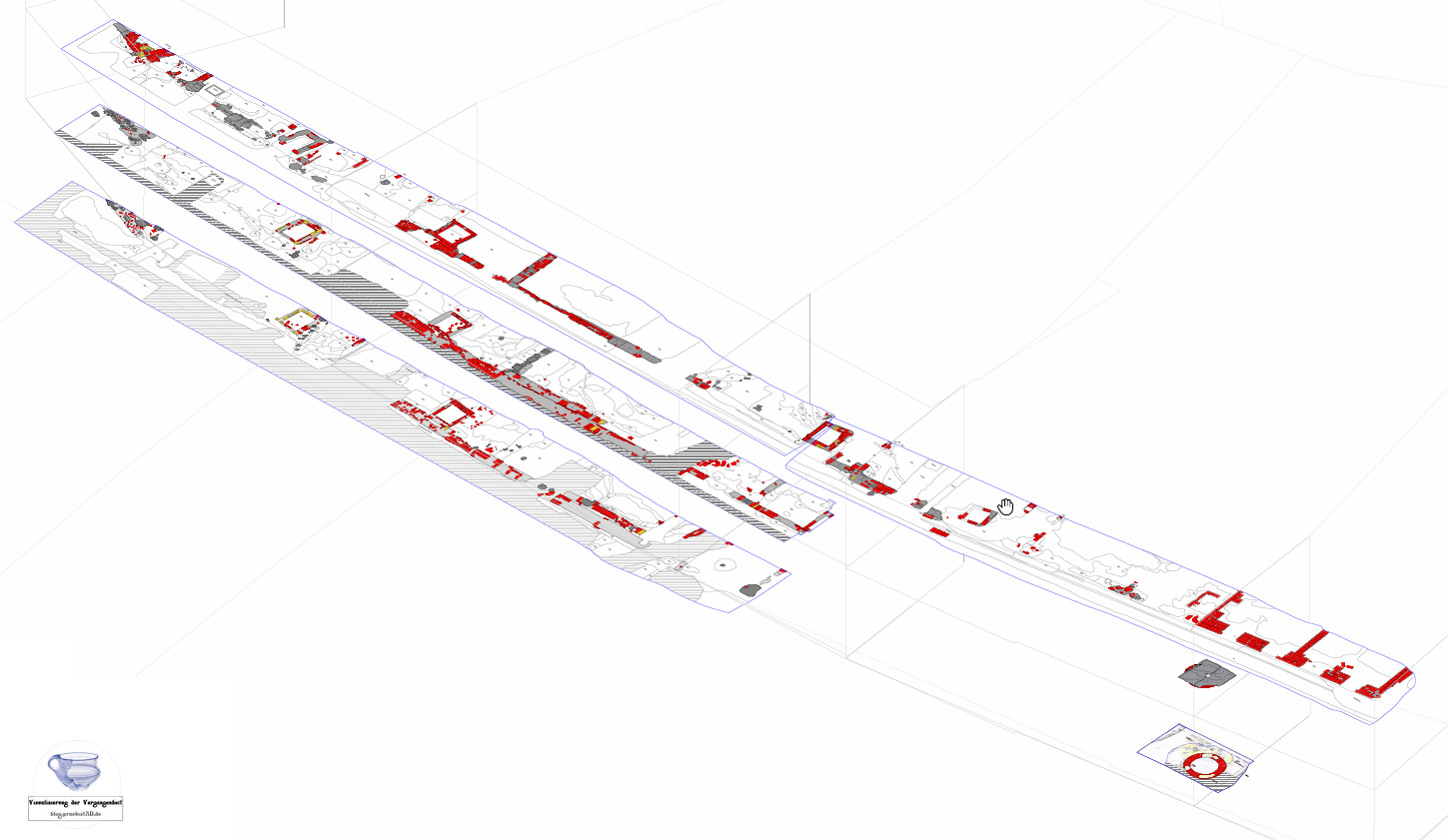

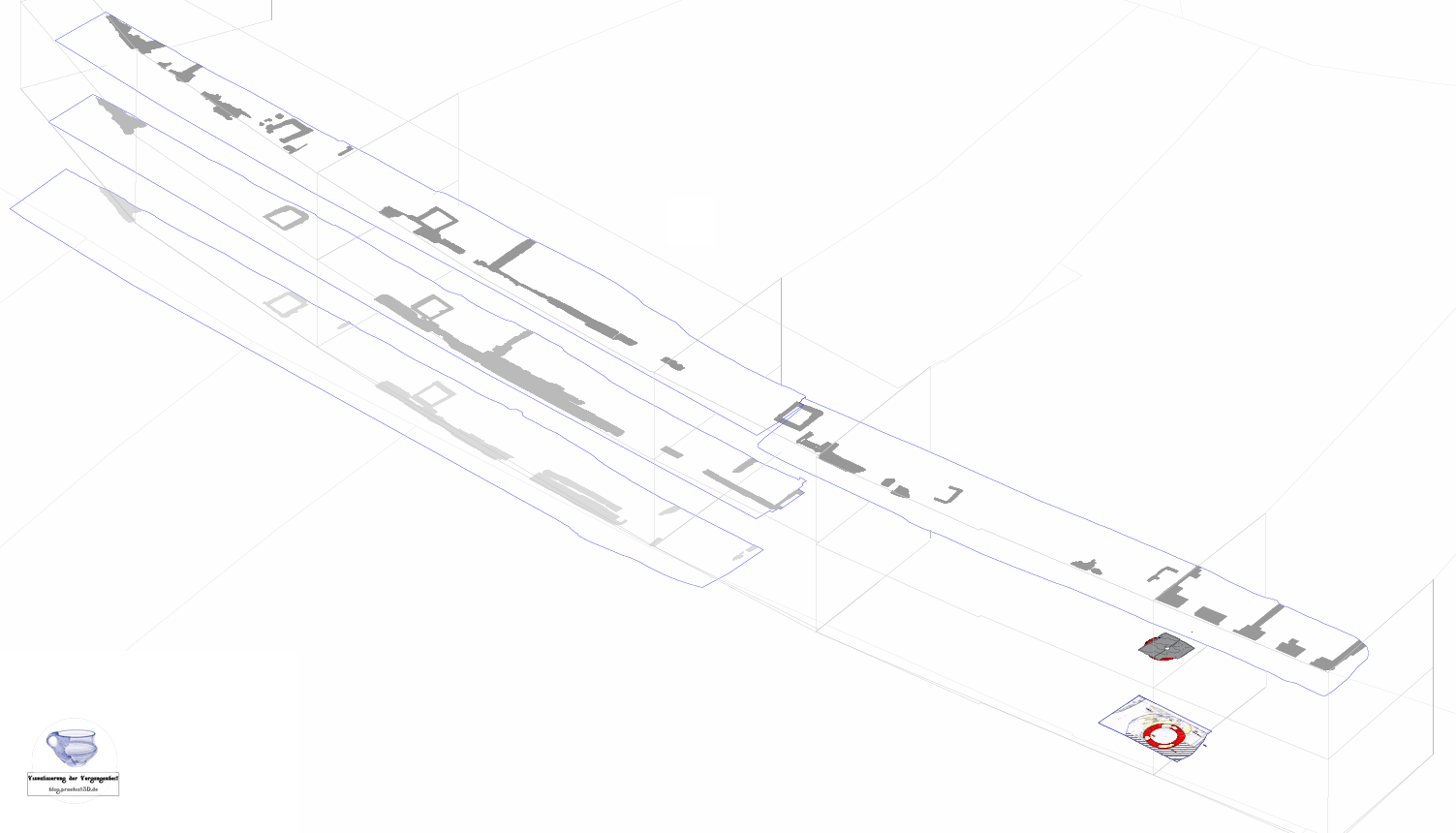

The pictures above show the bigger part of the excavation, and the three-main layer we excavated. The CAD Plan is a combination of traditional drawings (digitized) and Orthophotos based on 3D Models. The pictures were acquired using a common SLR Camera during the traditional photo documentation.
Are you interested in 3D scans, prints, reconstructions, workshops or questions?