In einem kurzen Beitrag bin ich am Beginn dieses Blog schon einmal auf die Möglichkeiten moderner Erfassungsmethoden in der Flächenerfassung eingegangen. Die damals zugrunde liegende Maßnahme ist mittlerweile komplett abgeschlossen und wird nun von mir für einen Blogbeitrag vorbereitet.
Im Folgenden hier eine Auswahl der erstellten Daten.
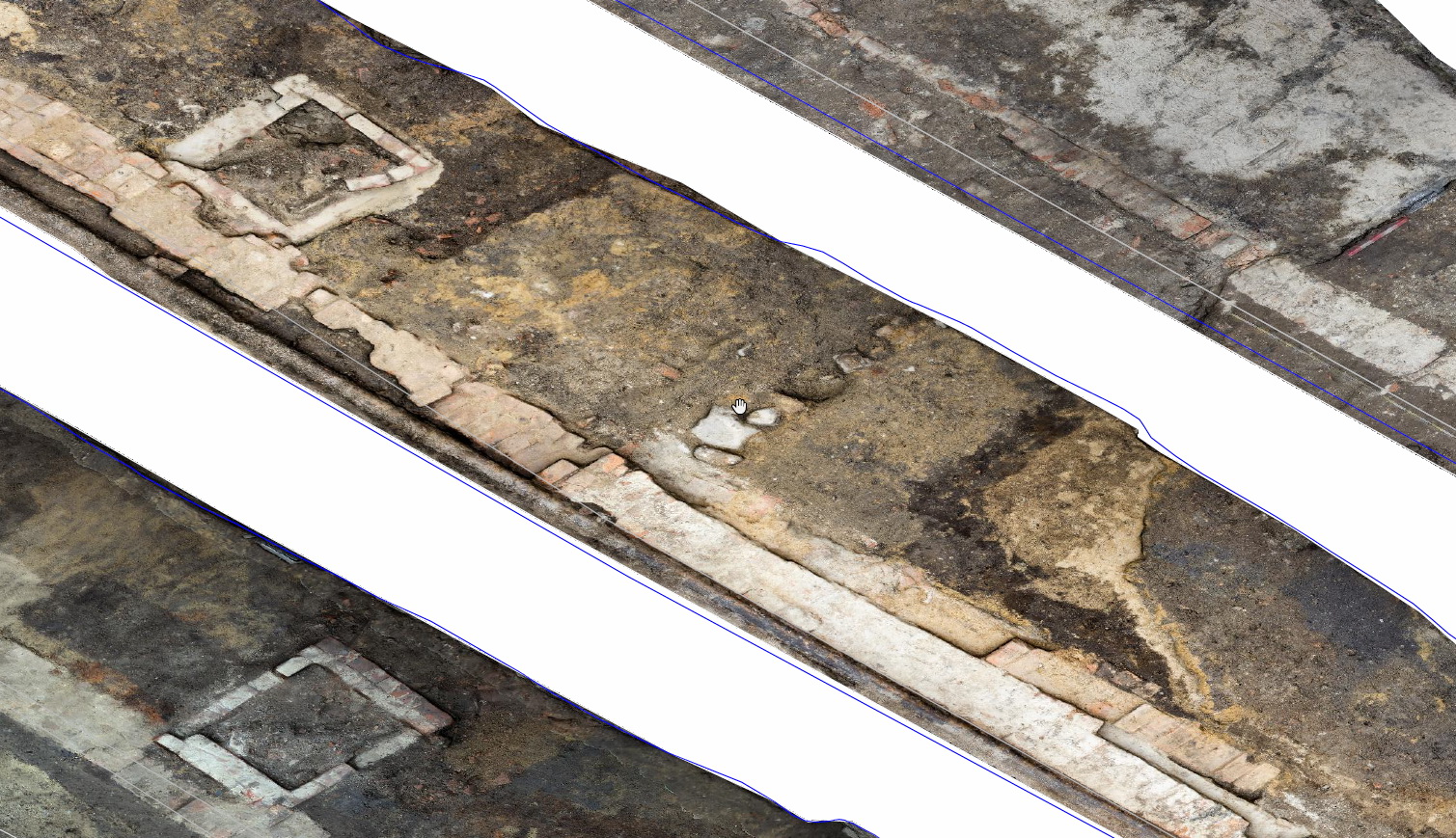
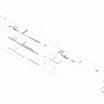
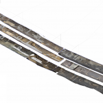
Dieser Plan eines Teils der Flächen kombiniert sieben Orthophotos die aus 3D Modellen gewonnen wurden. Die Aufnahme erfolgte mit einer Einsteiger Spiegelreflexkamera während der traditionellen Fotodokumentation, die Berechnung wurde Abends und am Wochendende vorgenommen.
weitere Infos folgen bald.
english text:
In the beginning of this blog I wrote an article about the capabilities and possibilities of 3D photogrammetry documentations for large areas. The Excavation i choose as an example is now completly finished, and I can start to write some articles. But this may take some time so here are is a little preview:
The pictures above shows the bigger part of the excavation, and the three main layer we excavated. The CAD Plan is an combination of traditional drawings(digitized) and Orthophotos based on 3D Models. The pictures were aquired using an common SLR Camera during the traditional photo documentation.
more informations and articles will be comming
